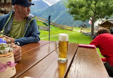
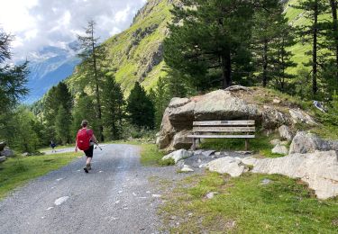
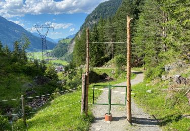
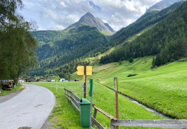
12.4 km | 21 km-effort
Winnebachseehütte
thierry13710
User
Length
4.8 km
Max alt
2369 m
Uphill gradient
805 m
Km-Effort
12.9 km
Min alt
1566 m
Downhill gradient
7 m
Boucle
No
Creation date :
2014-12-10 00:00:00.0
Updated on :
2014-12-10 00:00:00.0
--
Difficulty : Difficult
FREE GPS app for hiking
About
Trail Walking of 4.8 km to be discovered at Tyrol, Bezirk Imst, Gemeinde Längenfeld. This trail is proposed by thierry13710.
Description
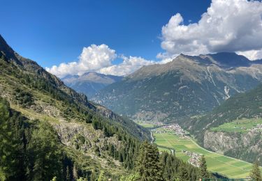
Montée au lac Winnebachsee
Positioning
Country:
Austria
Region :
Tyrol
Department/Province :
Bezirk Imst
Municipality :
Gemeinde Längenfeld
Location:
Unknown
Start:(Dec)
Start:(UTM)
653341 ; 5215146 (32T) N.
Comments
Trails nearby
Gries Amberger hutte 11 km
Walking
Medium
Gemeinde Längenfeld,
Tyrol,
Bezirk Imst,
Austria
11.6 km | 18.9 km-effort
4h 4min
Yes
Huben 12 km
Walking
Difficult
Gemeinde Längenfeld,
Tyrol,
Bezirk Imst,
Austria
11.2 km | 23 km-effort
7h 45min
Yes
Huben 5,5 km
Walking
Very easy
Gemeinde Längenfeld,
Tyrol,
Bezirk Imst,
Austria
5.4 km | 6.5 km-effort
1h 33min
Yes
Oostenrijk Längenfeld camping Ötzal - Teufelskanzel
Other activity
Easy
(1)
Gemeinde Längenfeld,
Tyrol,
Bezirk Imst,
Austria
7.2 km | 12.1 km-effort
4h 43min
Yes
lac winebachseehutte gries autriche
Walking
Medium
Gemeinde Längenfeld,
Tyrol,
Bezirk Imst,
Austria
10.8 km | 22 km-effort
5h 11min
Yes
lac winebachseehutte gries autriche
Walking
Medium
Gemeinde Längenfeld,
Tyrol,
Bezirk Imst,
Austria
10.8 km | 22 km-effort
5h 11min
Yes
Pollalmhuette
Walking
Very difficult
Gemeinde Längenfeld,
Tyrol,
Bezirk Imst,
Austria
14.5 km | 25 km-effort
6h 4min
No
Haengenrucke
Walking
Medium
Gemeinde Längenfeld,
Tyrol,
Bezirk Imst,
Austria
6 km | 9.6 km-effort
2h 55min
No